
 1 year ago
114
1 year ago
114
The Florida Times-Union has made this article free of charge for all readers in the interest of public safety. Please consider supporting local journalism with a digital subscription.
Hurricane Helene is predicted to make landfall in Florida as a Category 4 hurricane, part of a frightening forecast of 130-mph winds and high storm surge that brings a dire scenario for hundreds of miles of the state's coast as entire communities are forced to flee.
Helene reached hurricane status Wednesday and was forecast to grow more powerful and dangerous before making landfall Thursday evening on Florida's Gulf Coast as a devastating Category 4 storm.
Here's the latest information on Hurricane Helene from the National Hurricane Center:
Hurricane Helene 5-day warnings, cone

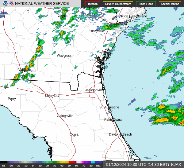
Latest radar loop for Northeast Florida
Hurricane Helene key points to know

Hurricane Helene tropical storm-force wind probabilities

Hurricane Helene earliest reasonable arrival time of strong winds

Hurricane Helene surface wind field

Hurricane Helene peak surge forecast

Hurricane Helene rainfall forecast

Hurricane Helene greatest flash flood risk

This article originally appeared on Florida Times-Union: Hurricane tracker: Helene path, rainfall, storm surge forecast